API Overview
Geocoding
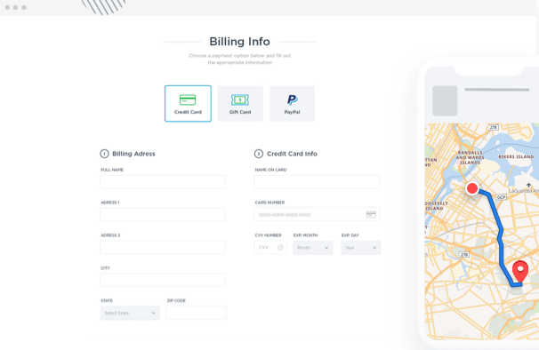
Forward Geocoding
Converts a structured or free-form address to coordinates
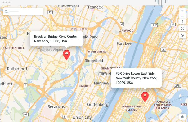
Reverse Geocoding
Converts coordinates to human-readable street addresses
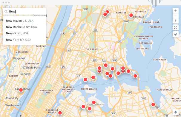
Autocomplete
Offers type-ahead suggestions for incomplete addresses
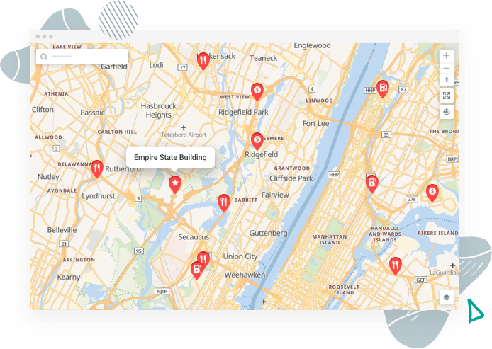
Nearby-POI API
Returns Points of Interest near a specified location.
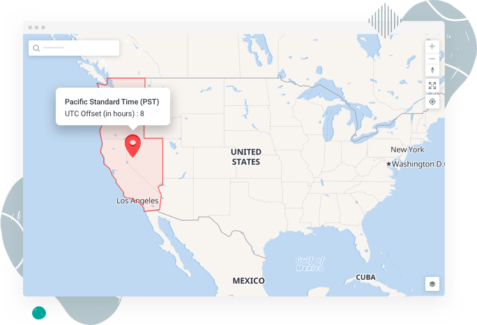
Timezone API
Provides time offset data for locations on the surface of the earth.
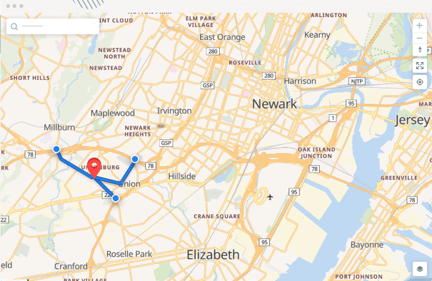
Routing
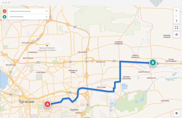
Directions
Calculate the fastest or most-efficient route between coordinates
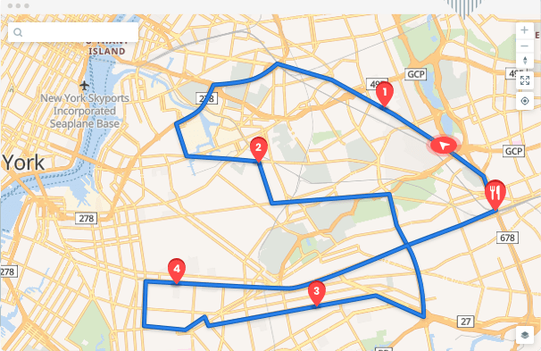
Optimize
Finds the most optimum route given a set of destinations
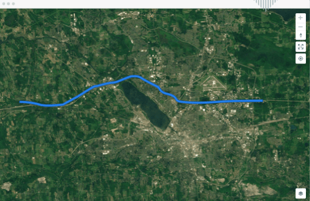
Matching
Normalize GPS points by snapping them to roads

Distance Matrix
Computes duration of the fastest route between all pairs of supplied coordinates
Nearest API
Snaps a coordinate to the street network and returns the nearest n matches.
Maps
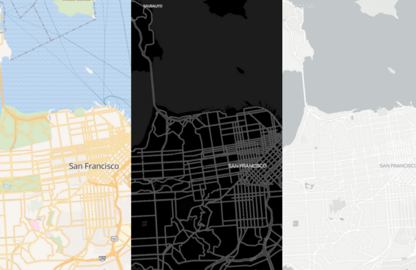
Dynamic Maps
Add beautiful, customizable maps to your websites or apps

Static Maps
Standalone images (JPG / PNG) that can be displayed on web and mobile
Updated over 1 year ago